Connectivity

CadnaA includes great connection capabilities. The numerous import and export interfaces ensure the communication with related applications such CAD or GIS software as well as Spreadsheets and Word Processors. In addition, CadnaA expands the possibilities with real-time connection with GIS and even monitoring systems.

Import formats

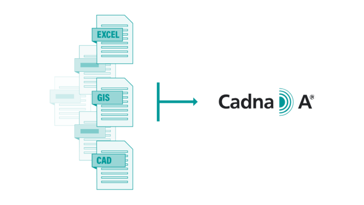
CadnaA includes more than 30 import format interfaces meaning that any kind of digital data from different sources can be imported and combined to build up the acoustic model. The most relevant import formats are natively included in any CadnaA configuration. Some examples are:

  • CAD and GIS formats: AutoCAD DXF, SketchUp, ArcGIS shape Files, MapInfo...
  • Text formats: ASCII Objects, ASCII Digital Terrain Model, Building Height Points...
  • Import of projects built in other simulation software programs, including QSI Exchange Format according DIN 4567

Connection with Web Map services and Google Maps*

CadnaA is able to connect and import imagery from the most relevant Web Map Services available today. The following options are possible:

  • OpenStreetMap: Import of the map representation of www.openstreetmap.com (included as standard)
  • Open Data platforms:  WMS-connection to your specific land surveying office (if available at your place)
  • Individual WMS-URL: Choose an individual WMS-link to connect to any server worldwide

In addition, you can choose any imagery-view available on Google Maps*, like Road Map, Satellite, Terrain Map or Hybrid Map. This is a fast and easy way to include bitmaps as background information or to build up your actual model.

*Option BMP Required

Connection with monitoring and measurement systems

Any noise map generated with CadnaA can be updated in pre-definable time intervals using real noise measurements or even traffic count devices. This feature is known as DYNMAP and it is included in any CadnaA configuration and allows the direct coupling to automatic monitoring systems installed along main roads or at the vicinity of industrial plants.  Once the data from the monitoring stations are directly transferred to CadnaA the map is updated extremely fast as no further recalculation of the sound propagation is required. This way, CadnaA can display up-to-date information on demand.