City Noise Mapping

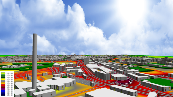
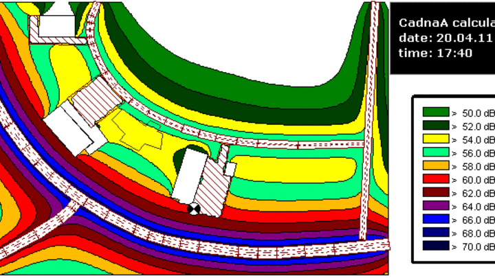
CadnaA is an excellent tool for the calculation of noise maps and for Strategic Noise Mapping according to the EC Directive on Environmental Noise. A great number of users value its richness in features, calculation speed and last but not least, usability. Numerous noise maps of cities and even entire countries have been calculated and are calculated using CadnaA.


Strategic Noise Maps

Strategic Noise Maps involve a specific workflow regardless the size of the project. A big number of local and state administrations use CadnaA from the very first stages to the final delivery of results according to the regulations. The first step is the creation of a digital city model, where each single element (roads, railway lines, terrain, buildings, etc.) and their related data (traffics, elevation, inhabitants, etc.) may have different formats which are imported and combined into the software. Then, the model is validated by appliying automated workflows for the simplification and optimization of the model. After noise grid and building evaluation calculations have been performed by using quality assured calculation standards, the statistics on noise exposure versus number of residents as required by Annex VI of the Directive are produced automatically.

Noise Integration into Geographical Information Systems (GIS)

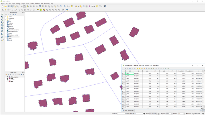
In some cases local and country administrations have developed GIS environments, where all aspects (or "layers") of a city are integrated into a digital urban planning tool. These systems are long-term projects and involve several departments within the government to ensure consistent information. That is also true for the definition of all layers and related databases and how they should be transferred into other software. CadnaA is used here as a runtime calculation program so all data required for calculation is prepared within the GIS system. By simply pressing the calculation button integrated into the GIS front end, the data is automatically imported into CadnaA and the results are exported back to the GIS system once the calculation has been finalized.

Online noise maps

According to article 9 of the EC Directive, the member states have to ensure that strategic noise maps and action plans are made available and disseminated to the public in a clear, comprehensible and accessible way. Many governments have decided to publish online maps since then. Usually, implementation costs are high and require an outsourcing of IT services for the development and maintenance of the webpage. A time and cost efficient solution is the export of noise maps to an end-user browser format that can be published into any webpage. Using this CadnaA feature, the noise map results can be checked by the public on any computer or even touch screen devices connected to the Internet.

Live update of noise maps

Strategic Noise Maps must be updated every five years in order to reflect the modifications approved in the action plans. Although the update is based on new digital data (such as new roads, modification of traffic flows, etc.) more and more cities also implement noise monitoring networks installed along main roads or at the vicinity of industrial plants. These measured data can be transferred to CadnaA to update the noise map. This technique is not limited to the use of measured sound level data, but also automatically registered traffic count data or other source parameters can be used. Dynamic noise maps can even be generated for past time periods. Whether the Lden of the preceding year or the mean sound level on all Sundays of the last month shall be displayed.